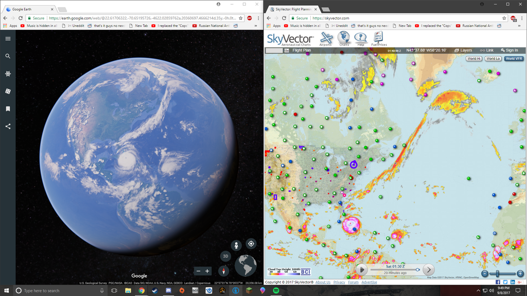
With Hurricanes Harvey and Irma causing rampant destruction and mass evacuations, safety has become paramount for residents of the US East Coast. Google Earth can now tell you if the conditions in your area are suitable. Hurricane Irma can be seen in the screenshot below. To view the cloud patterns, all you need to do is select the area you want to view the patterns for, and keep zooming out. If the trail of destruction left by hurricane Harvey was not enough, Irma is all set to cause more destruction in the US. Florida is particularly at risk. Here’s a look at how viewing these cloud patterns could help you:
It would tell you the path of the hurricane. The hurricane moves where the clouds follow. If currently the hurricane is near your region, the best thing would be to move out to another area for the time being. Moreover, you could also know which places are safe to evacuate to depending on the cloud patterns around those areas. While this could help you during the times of a hurricane or other natural calamities, this can also help a lot when making travel plans. Finally, the cloud patterns can also help tell you whether it is safe to go back to where you evacuated from. If the storm is over you would notice the clouds have moved away.
This feature is not a new addition to Google Earth but has become relevant lately. With a third hurricane, Hurricane Jose following up, you can now make use of Google Earth showing you the cloud patterns so that you can be safe from this destructive force of nature! To conclude however, while Google Earth is a reliable source of information, we would like to add that the best way to stay protected is to make sure you are in touch with the local disaster management forces and official announcements regarding evacuation from your government. Stay Safe! Source: Reddit